
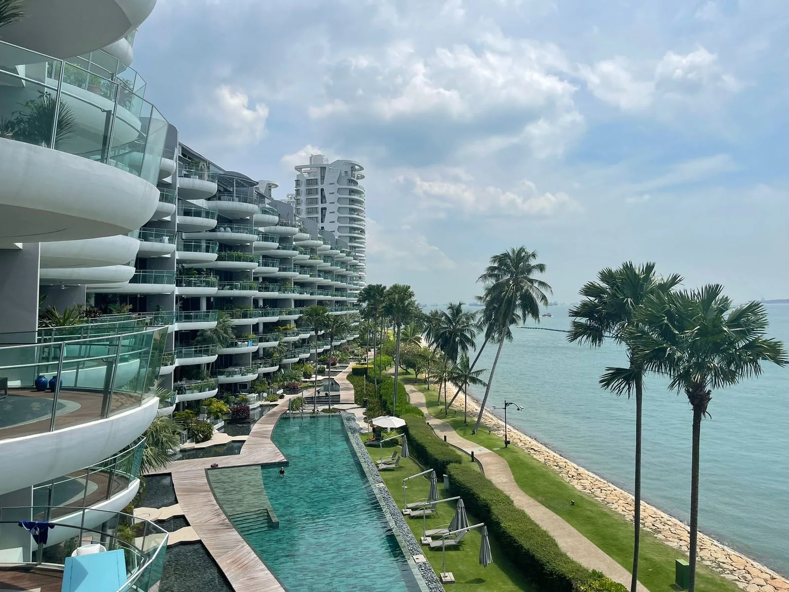
 Photograph
Sentosa sits just off the southern edge of the city, so the financial district and Marina Bay are a short drive from Seascape. This guide sets out the route across the bridge and the distances to the places most often asked about.
Leaving Sentosa from Seascape
The drive out begins on Cove Way and Cove Drive, follows Allanbrooke Road past the golf courses and crosses the Sentosa Gateway to HarbourFront, as the developer’s location map traces it. HarbourFront MRT station, on the North East and Circle Lines, is about 3.4 kilometres from the site in a straight line and about 4.9 kilometres by road, a drive of about ten minutes on Google Maps.
From HarbourFront the city opens up along the waterfront: VivoCity is beside the station, and Keppel Road leads east towards Tanjong Pagar and the financial district.
Raffles Place, about 8.6 km.
About 21 minutes via Keppel Road on Google Maps; HarbourFront MRT is about 4.9 km by road.
The Financial District from Seascape
Raffles Place is about 5.2 kilometres from the site in a straight line and about 8.6 kilometres by road, a drive of about 21 minutes via Keppel Road on Google Maps. Tanjong Pagar MRT station, at the southern edge of the district, is about 4.2 kilometres away in a straight line.
| Place | Straight line from the site |
|---|---|
| HarbourFront MRT station (NE1 / CC29) | about 3.4 km |
| Tanjong Pagar MRT station (EW15) | about 4.2 km |
| Singapore General Hospital | about 4.4 km |
| Raffles Place MRT station | about 5.2 km |
| Marina Bay Sands | about 5.5 km |
| Gardens by the Bay | about 5.8 km |
| ION Orchard | about 7.2 km |
Measured on OneMap (SLA) from the site; routes by sea, on foot or by road are longer.
Marina Bay and Orchard from Seascape
Marina Bay Sands is about 5.5 kilometres from the site in a straight line and Gardens by the Bay about 5.8 kilometres, across the water from the financial district. Orchard Road is further north, with ION Orchard about 7.2 kilometres away.
Healthcare is close to the same route: Singapore General Hospital, beside Outram Park, is about 4.4 kilometres from the site in a straight line.
Schools Across the Water from Seascape
The nearest schools stand on the mainland around Telok Blangah and Bukit Purmei. CHIJ (Kellock) is about 4.1 kilometres from the site in a straight line and Radin Mas Primary School about 4.2 kilometres; Zhangde Primary School and Blangah Rise Primary School are each about 5.1 to 5.2 kilometres away. Home-school distance for Primary One registration is determined by the Ministry of Education from the address of the home.
The location page lists every distance from Seascape, and the Southern Islands guide looks the other way, out to sea.
Book a Seascape Viewing Appointment
The Sales Concierge sends the price list on request, the homes still open for selection and the e-brochure for Seascape. Showflat viewings are arranged by appointment through the Sales Concierge.